Lillie Park – Pittsfield, MI
Overview
Lillie Park sits on 124 acres of restored land in Pittsfield Township. Once a gravel pit, the area has been transformed into play areas and beautiful walking trails. The play areas cover about 30% of the park and there are multiple picnic pavilions, play structures, and soccer fields. The remaining land consists of a range of natural areas connected by a network of trails. The only downside to this park is that it can be a little noisy at times. The park sits adjacent to the intersection of two busy highways.
The park is divided into two areas known as the north and south parks. Lillie North surrounds Haven Lake and has paved paths that go to the picnic benches, docks, and fishing areas.
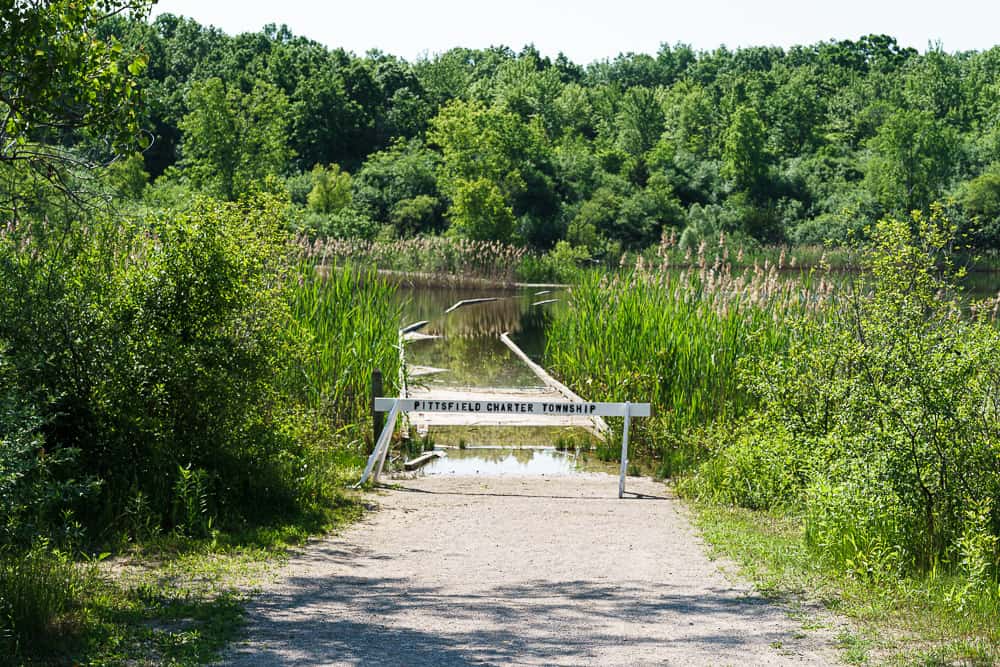
Lillie South is the main area of the park with playfields and nature areas. Both parts of the park have their own parking area and are connected by a sidewalk. unfortunately, none of the paths inside the park connect the northern and southern parts as the park is divided by an old railroad right-of-way.
RATING
- Scenery – 4
- Trail Condition – 5
- Quiet/Solitude – 1
- Difficulty – 1
- Overall – 4
- Path walked – 1.74 miles
- Difficulty – Easy
- Trail – Paved & Packed Gravel
- Accessibility – See Below
- Dogs Allowed – No
- Bikes Allowed – No
Location – Pittsfield Township (see map below)
Gear Suggested – Daypack, Water Bottle, Waterproof Boots, Long Pants & Sleeves
Lillie Park – The Walk
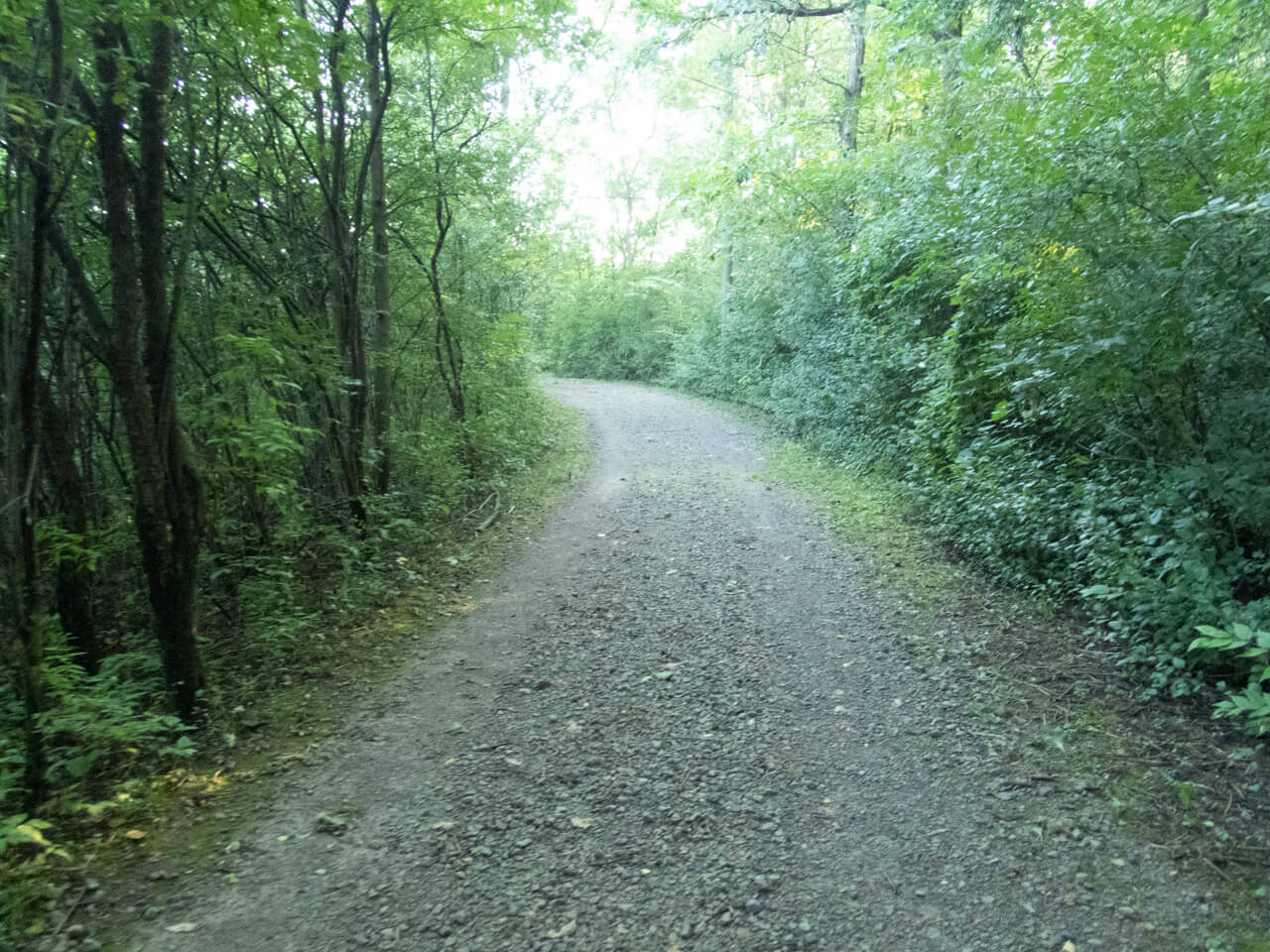
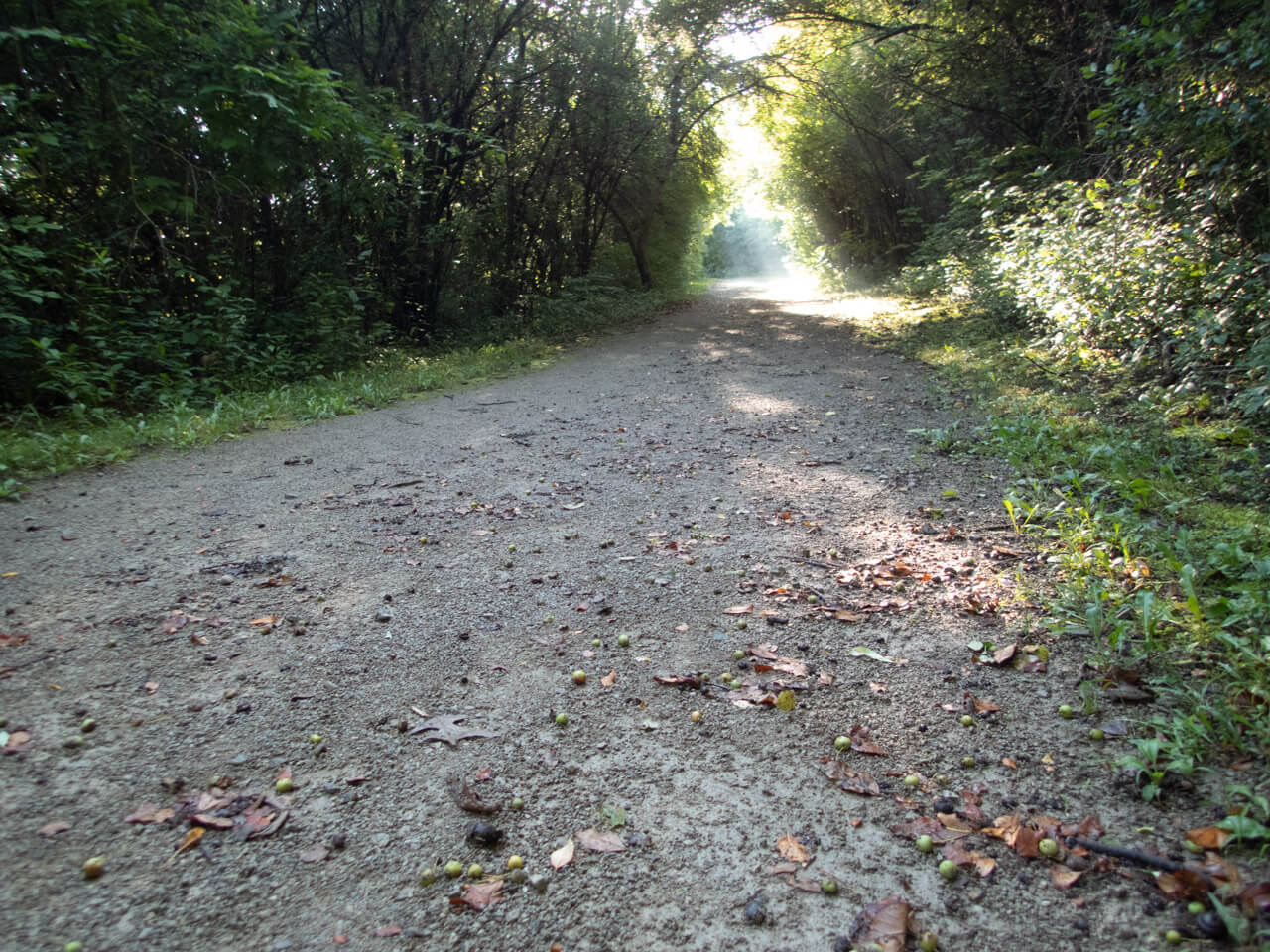
The Lillie South trail system consists of a network of paved and packed earth paths that loop through the different areas of the park. Each trail is set up as a loop to a specific area of the park – ponds, songbirds, old-growth forest – but can also be walked as a single big loop. All along the trail system are educational signs, scenic overlooks, and benches.
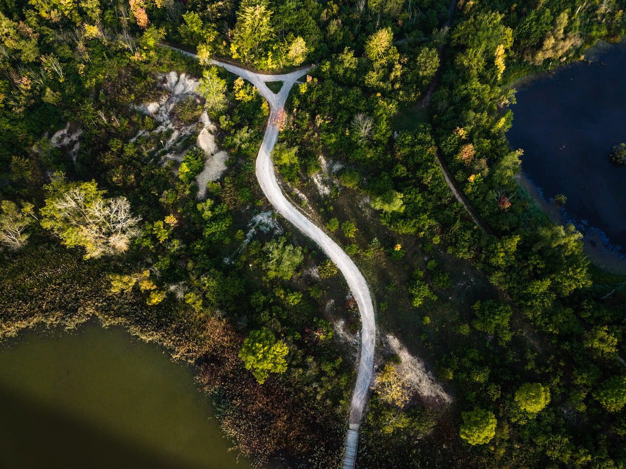
The best path through the park starts at the southern parking log and passes through a bit of forest before coming out at the Turtle Rock pond overlook. Turn to the right and the wide path takes you back to the Giant’s Grove, a stand of very old trees that show what this area once looked like before it was farmed.
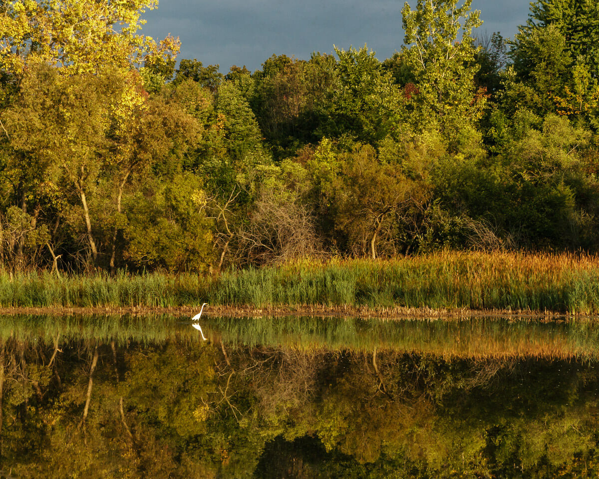
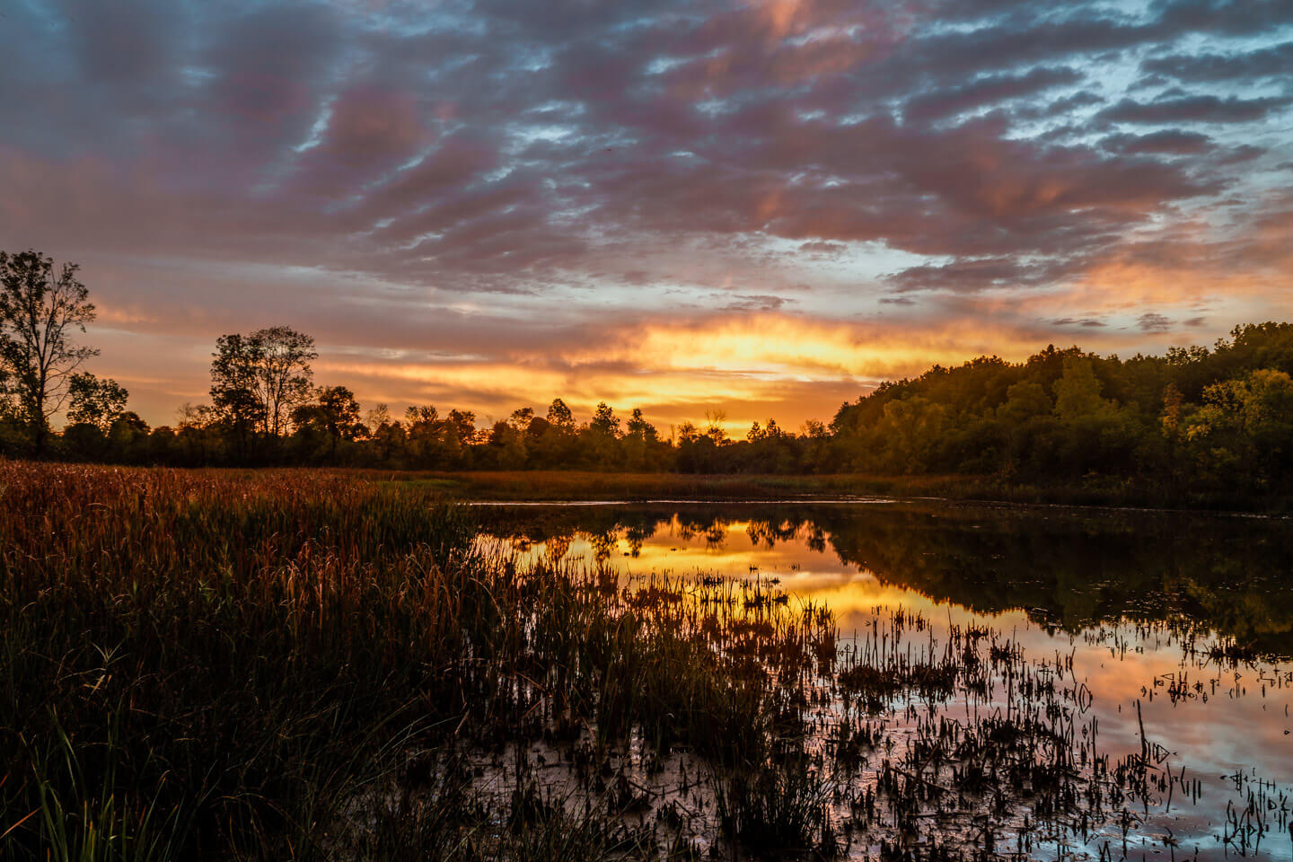
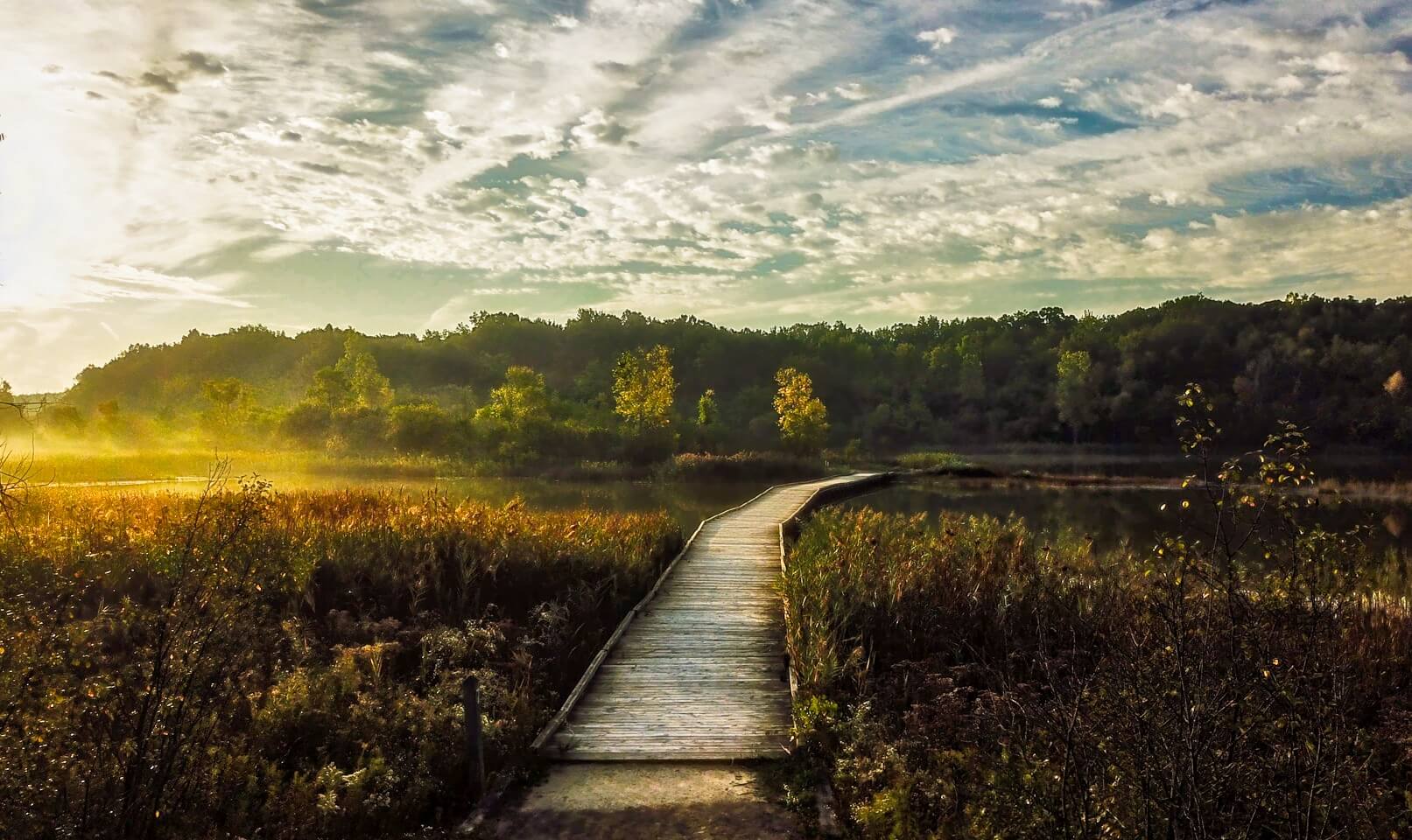
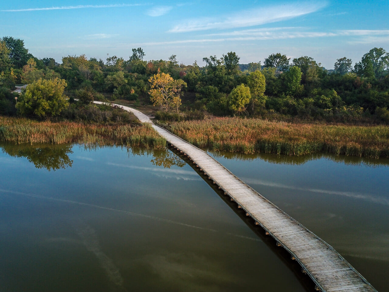
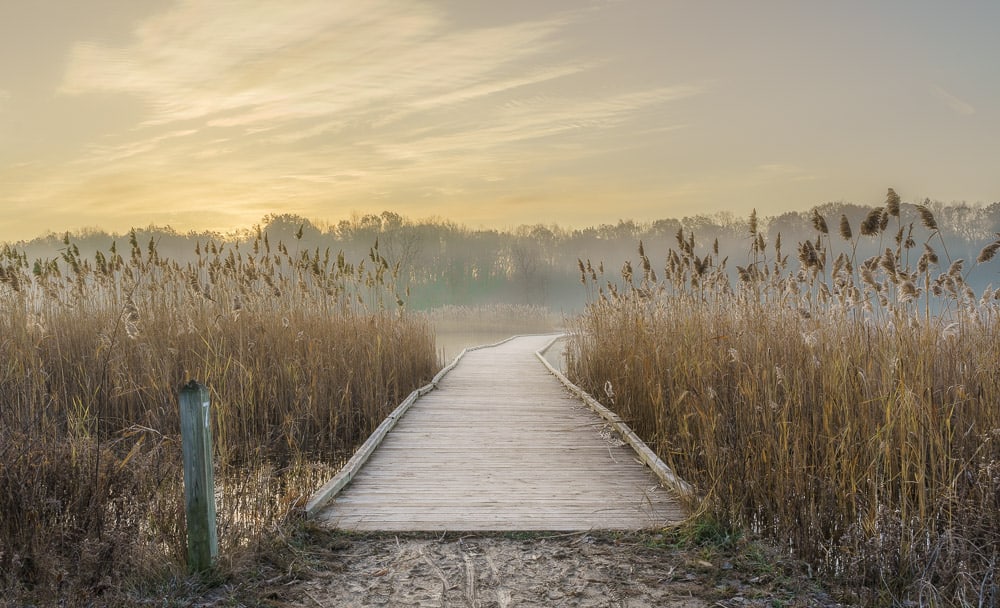
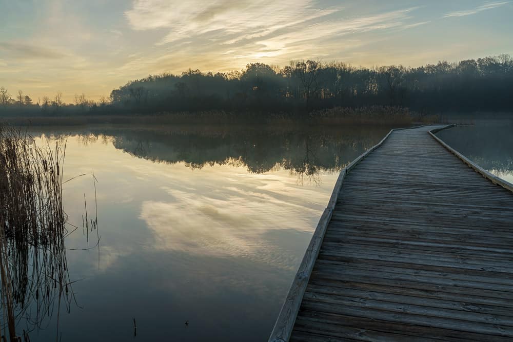
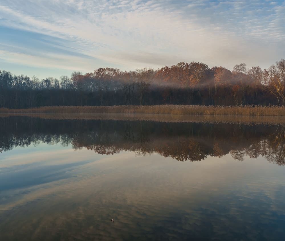
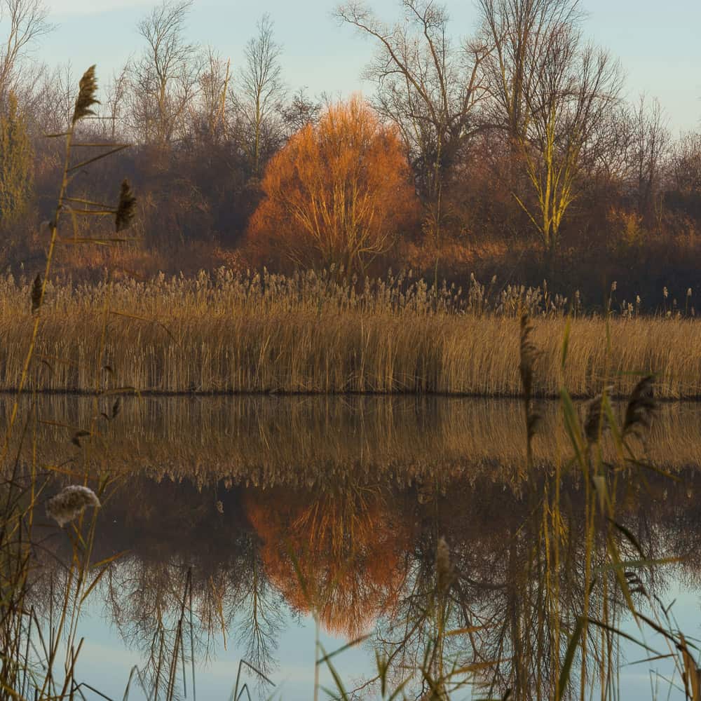
After passing through the gove, the path leads down into a more open and sandy area leading down to Turtle Rock Pond. The pond area attracts various waterfowl throughout the year. There are benches to rest on and a great boardwalk that crosses the pond. The boardwalk provides a great view of the whole pond area and is one of my favorite places in the park.
(Note, there is about a 70′ change in elevation down to Turtle Rock pond, and if you are challenged by steep slopes, use the path on the south side, as the slope is more gradual than the north side)
Heading north from Turtle Rock Pond, the path heads up and into a densely bushed landscape. This area of the park has another smaller pond and is filled with songbirds. Even with the noise of the nearby highways, this part of the park is very restful and is a great place to sit and rest.
After the songbird loop, the trail rejoins the main path back to the playfields and the parking lot. The total walk of the outer loop is just under 2 miles.
This is a dog-friendly park and there are doggie bags available in the parking lot and many trash cans located along the path. Most people keep their dogs on the leash but know that you may encounter the occasional wandering pet.
Path Taken
Max elevation: 0 ft
Min elevation: 0 ft
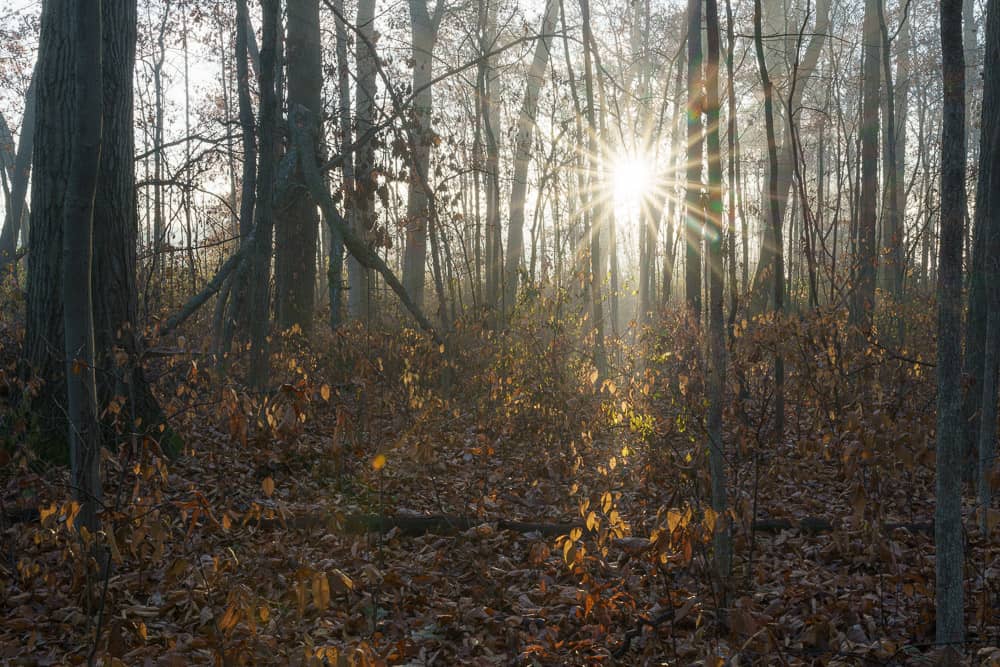
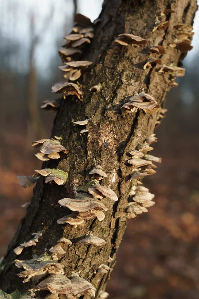
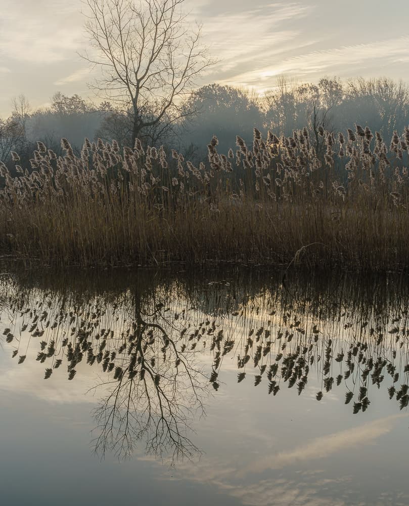
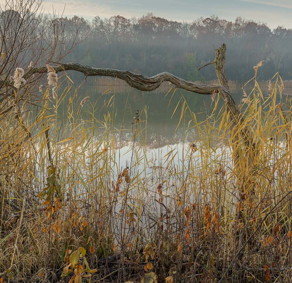
Gallery
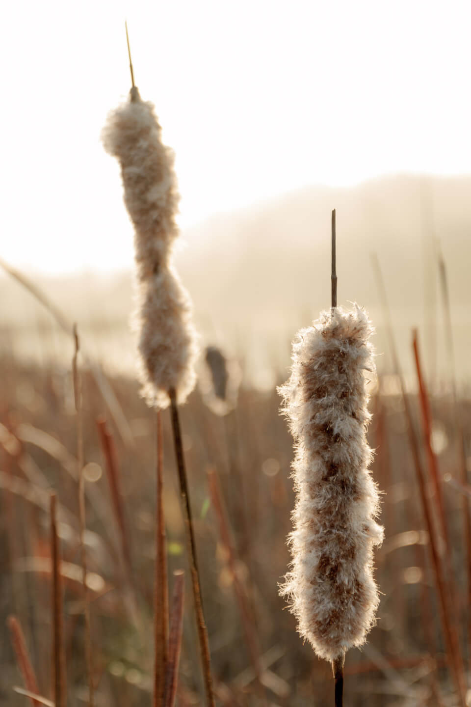
Below are some of the sights we found while walking that day.


Leave No Trace and Obey The Park Rules
Please Remember
- Always leave no trace, pack out everything you take in. We suggest that you bring an empty bag with you so you can pack out your trash and remove any that you see along the way.
- Stay on marked trails. Straying into the undergrowth can damage delicate ecosystems.
- Parks and preserves are surrounded by private lands. Please be respectful of property boundaries and stay inside the public land.
- Let someone know where you are going. Some areas have limited or no cell service, so if you get stuck you may not be able to call for help.
- Read the notes, warnings, and information provided at the park readerboard/kiosk. There may be closed trails or special seasonal information.
- Respect the no bikes, no dogs, and no horses rules. These are posted and may be updated at any time.
- Respect wildlife and nature. Do not approach or disturb animals or birds living in the area.
- Leave only footprints – Take only pictures.
For more information on Leave No Trace – see LNT.org
Where is this?
Facts
| Address | 1234 High Trail Rd, Chelsea, MI |
| Trail Length | 2 Miles |
| Highlights | Turtle Rock Pond |
| Access | Paved Parking Lots off of Platt Rd |
| Amenities | Picnic Shelters, Educational boards, Benches, Bathrooms, Garbage cans |
| Fees | none |
| Accessibility | Part of the trail system is paved, other parts are hard-packed earth. The trail has no stairs, but some portions are steep. |
| Website | http://www.pittsfield-mi.gov/Facilities/Facility/Details/Lillie-Park-4 |
| Map | http://www.pittsfield-mi.gov/DocumentCenter/View/361 |
| Best time to visit | Anytime |